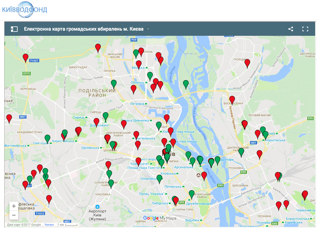
Tap on the map to get directions provided by Google Maps. The database is constantly expanding and soon it will also inform you whether there is a fee for using a particular restroom, whether you require a key and whether or not they provide disabled access. Kyiv dwellers have already suggested to create a mobile app based on the map.

Read: TOP 5 Kyiv Unusual Museums
Launched on April 12th 2017, the interactive map of Kyiv's public toilets shows the location of more than 86 restrooms all over the city. Red markers mean that the restroom is currently not functioning due to construction works or other temporary reasons, green markers show all the functioning restrooms. The information is updated daily.
Photo source: depositphotos.com, Kyiv Water fund web page. All images belong to their rightful owners.


