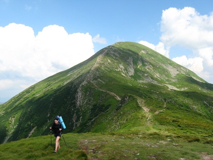
Hoverla is the highest point of Ukraine, situated on the border of Ivano-Frankivsk and Zakarpattia regions on Chernogora mountain group. It has a cone form and is covered by alpin meadows, dwarf shrub heath, particularly by loosened rock. At the bottom of mountain there is a waterfall and one of the source of the river Prut. Hoverla is situated in a protective zone of Carpathian reserve. It is popular place for summer and winter tourism. In winter time the summit is classified as сlimbing 1A.
Hoverla (sometimes written "Goverla") is not a difficult mountain to climb. The most popular route is from the east — a mere 6 km climb from the trailhead at 1100 m above sea level (Zaroslyak mountain cottage) to the summit at 2061 m.
Read: Ukrainian Castles Worth Visiting
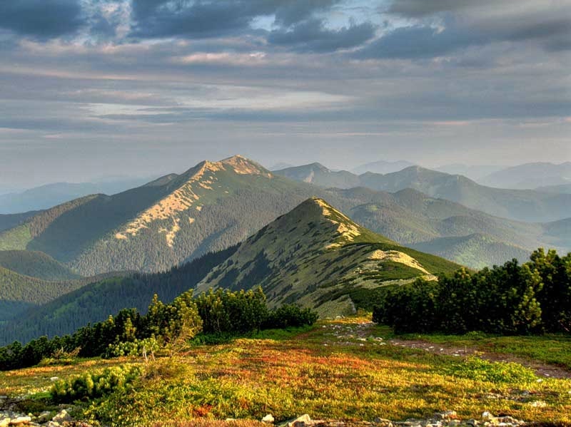
Petros (2020 m) is one of the highest summits of Chernogora mountain range, located on the north-west end of the range between Sheshul and Hoverla mountains in Rakhiv district, Zakarpattia region. West and east sides are arduous with many stones, north and north-east sides are scarp with crags. There are a lot of bushes (low juniper, rhododendron), blueberry brakes and spruce forest (bellow 1530-1600 m). Sometimes in winter there are avalanches. Tourist shelter is situated on the south sides below Rogneska subalpin meadow.
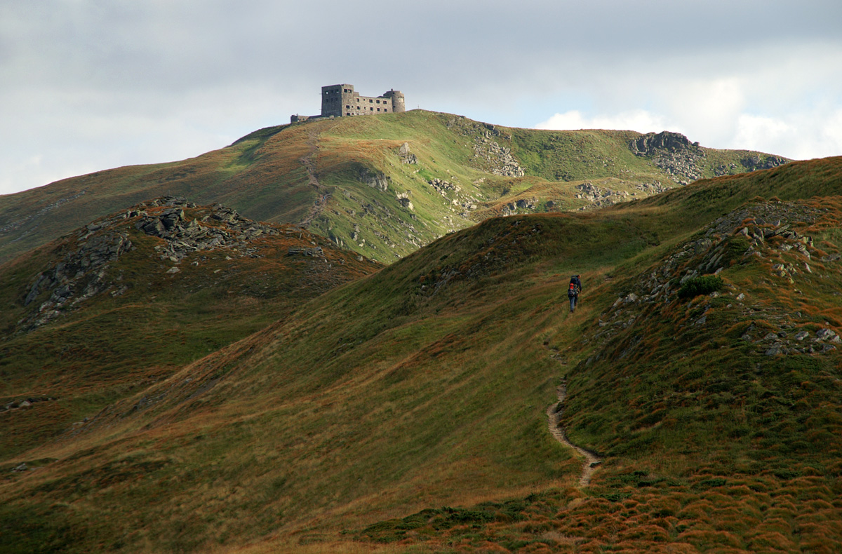
Pip Ivan Chornohora is part of the Carpathians ranges and, with an elevation of 6,634 feet above sea level, it is the third highest peak in the country. The mountain was a center of contention from 1918 until 1939 when the Polish border troops made an offensive attack and took over the area. The Polish government built up an impressive astronomical and meteorological observatory center at the summit of this mountain. The mountain was later back to the Ukrainian government, and the observatory center was ruined. This mountain is a major tourist attraction site especially for nature lovers. There are several historical and architectural monuments as well as beautiful alpine meadows and woods. Temperatures in the Pip Ivan are not extremely low, and the lowest ever recorded temperature is 5 degrees. The common activities in the mountain for the visitors are cycling, riding, hiking and rating.
Hutyn Tomnatyk is one of the highest mountains in Ukraine (2,016 m or 6,614 ft). It is located in Rakhiv district of Zakarpattia region within Carpathian Biosphere Reserve (Chornohirskyi protected massif). The name comes from the old word «oszteto», which means "gray top». The mountain slopes are covered with subalpine and alpine meadows, many of the local species are relics. At 1,801 m (5,909 ft) in the north-eastern slope between Hutyn Tomnatyk and Brebeneskul mountains a lake Brebeneskul is situated.
Read: Beautiful Travel Destinations of Western Ukraine
Image source: shutterstock.com, Igor Melika, Danil Korzhonov. All images belong to their rightful owners.

